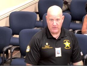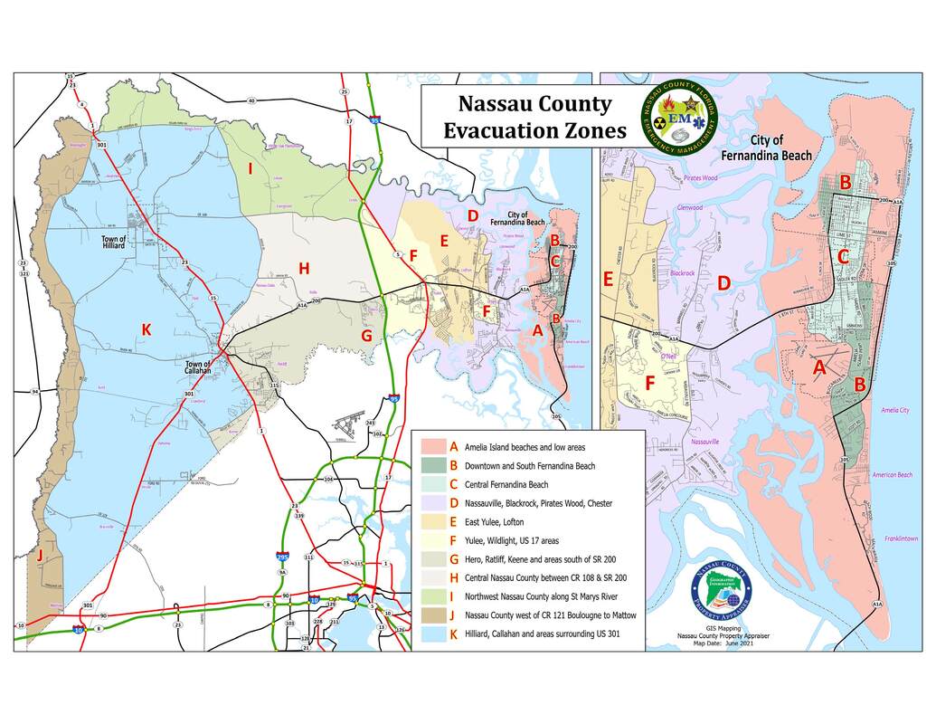
The presentation also included information about the new Evacuation Zones that were established following a study conducted by Emergency Management, along with the Northeast Florida Regional Council and Florida Department of Emergency Management. The old map had all of Amelia Island and most of the Yulee area under Zone A. As a result, many people off the island who were in Zone A were electing to not evacuate because they felt like their threat wasn't as great as others in that Zone residing along the intercoastal and on Amelia Island. Emergency Management indicated that they’ve also seen a decline in residents on Amelia Island who are willing to evacuate.
The new map now has 3 evacuation zones on Amelia Island which identify areas most likely to be affected by a coastal storm, as well as additional zones throughout the rest of the County clearly outlining where that area falls on the Zone Map. It's important to note that anyone previously shown in a surge zone will still be in a surge zone. Only the letters of the evacuation zone have changed.
Please click here to watch Director Foster's presentation. The discussion of the 2021 Citizens Disaster Guide and new Evacuation Zone Map begins at approximately 48:45.
If you have any questions about the new Evacuation Zones, please contact Emergency Management at (904) 548-0900.
-Sabrina Robertson
Public Information Officer

 RSS Feed